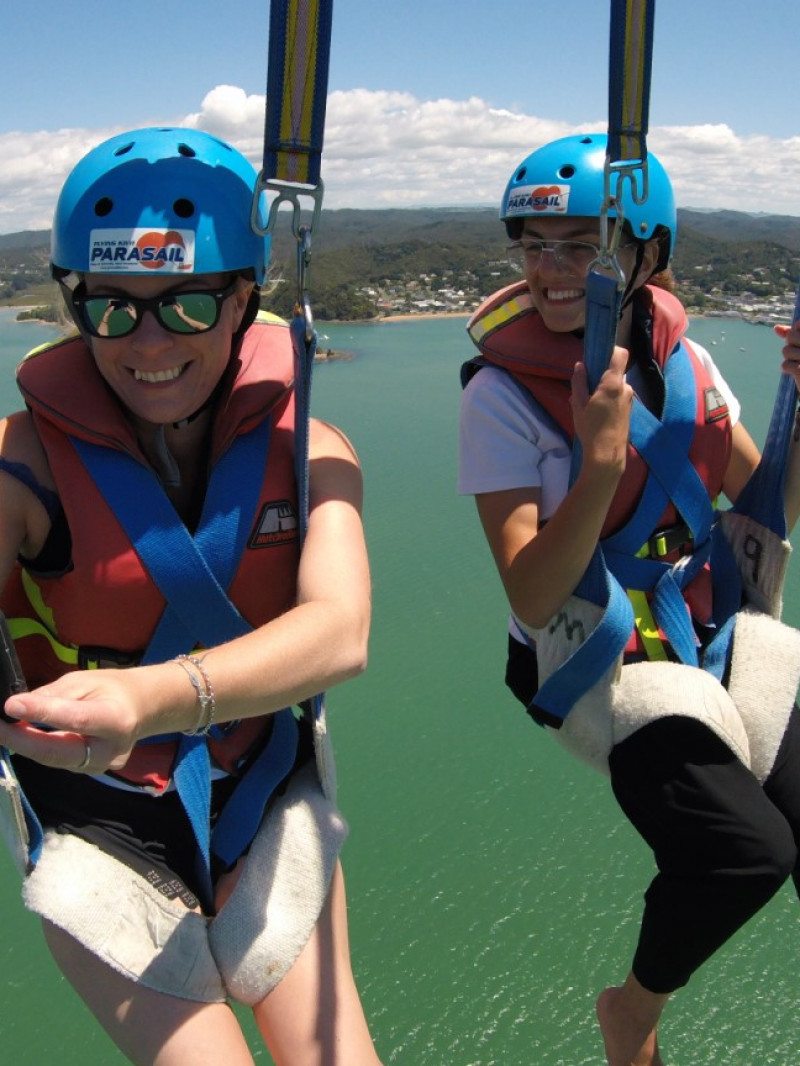
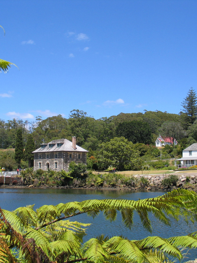
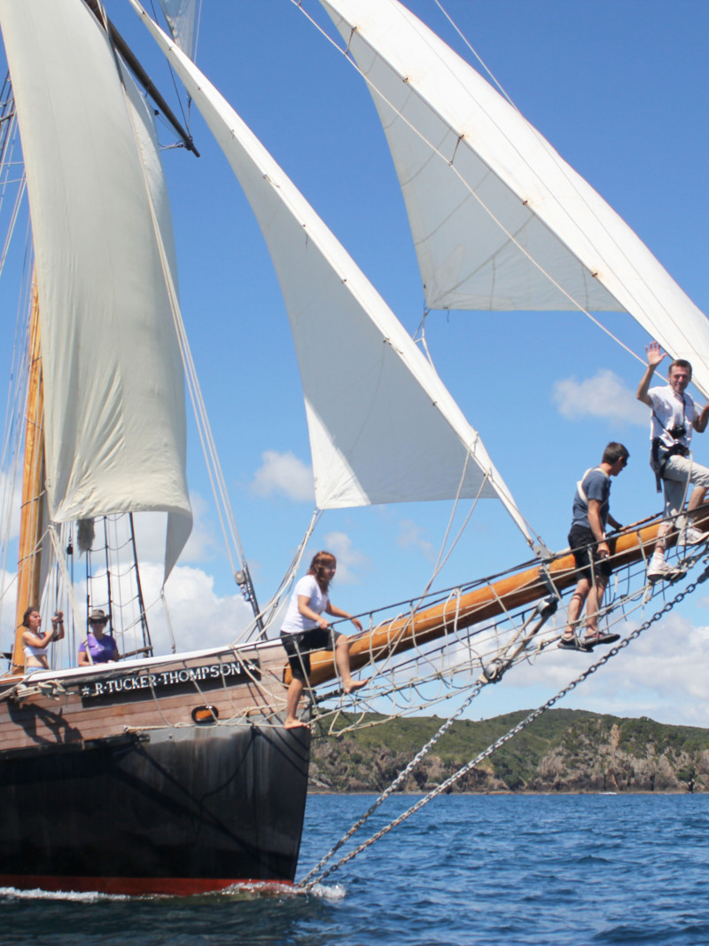
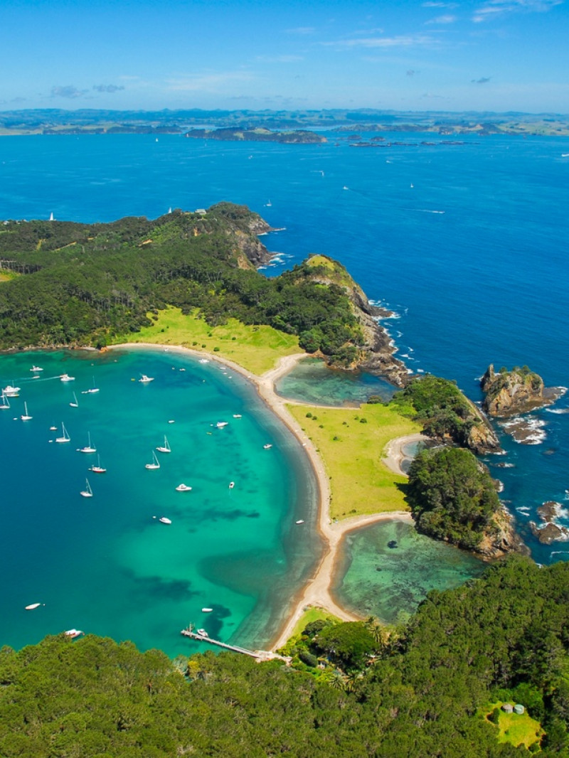
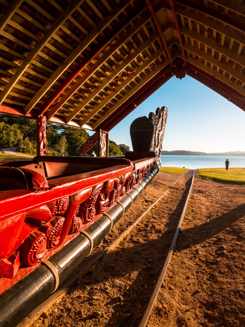
A three-hour drive or 35 minute flight north of Auckland, the Bay of Islands encompasses over 140 subtropical islands, and countless beaches, between Cape Brett and the Purerua Peninsula and includes the boutique towns of Opua, Paihia, Russell and Kerikeri.
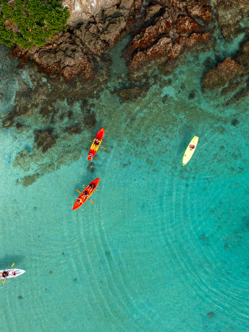
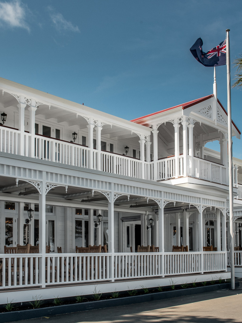
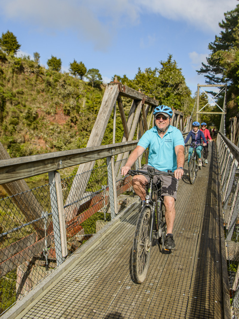
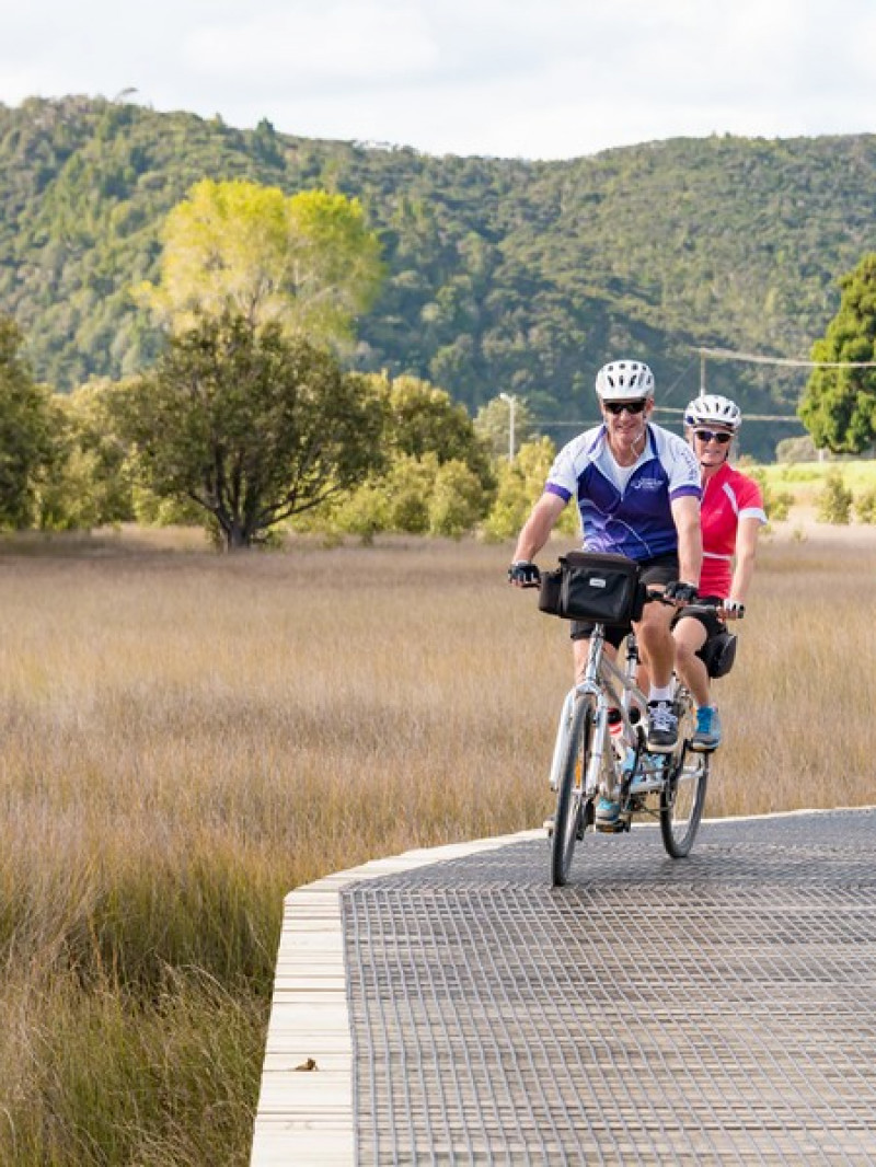
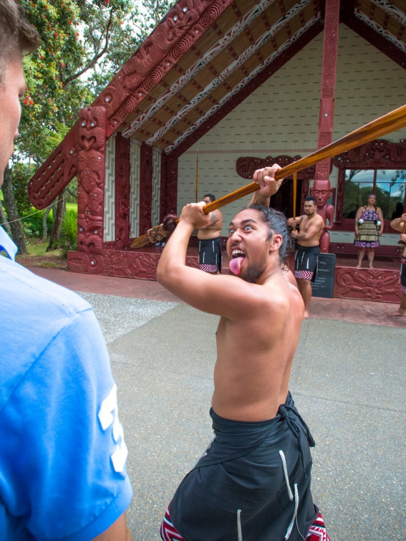
The Bay of Islands is an aquatic adventure playground with an abundance of water and on-land activities, experiences, and wildlife encounters. It's also home to the 19th-century whaling port of Kororāreka (Russell), where the waterfront promenade still reflects its history as Aotearoa New Zealand's first colonial capital.
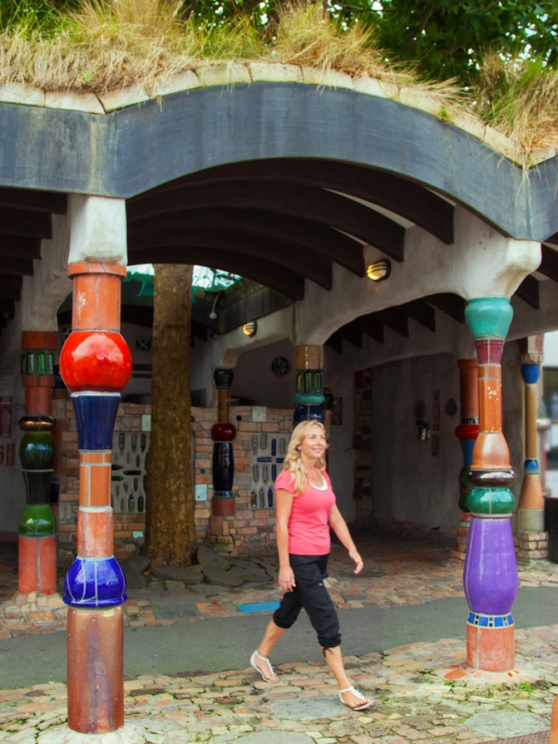
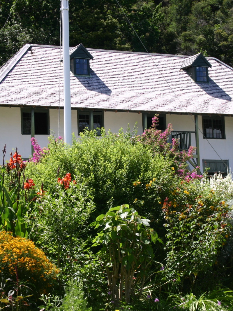
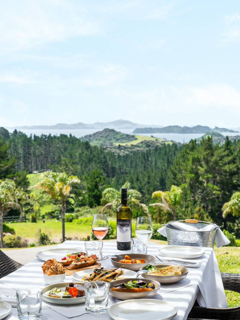
Offering a wide range of accommodation, dining, retail shops and galleries, and is rich in history and culture.
Highlights include:
Phone
09 402 7345
Email
[email protected]
Address
Bay of Islands i-SITE Visitor Information Centre
The Wharf,
69 Marsden Road,
Paihia 0200
Region
Northland & Bay of Islands
![]()
Product Disclaimer:
VisitorPoint Ltd is not responsible for any agreement or transaction between you and an operator, including any booking for activities, attractions, or other products or services made using this website. As operators maintain and update their own information through the VisitorPoint website, VisitorPoint does not accept liability for any inaccurate data displayed by the operator.


 Email
Email Messenger
 WeChat
 Facebook
 Twitter
 Copy URL